Where the Dolomites are
The Dolomites are in north-eastern Italy, spread across the provinces of Bolzano (South Tyrol), Trento and Belluno, roughly between the Adige valley to the west and the Piave to the east. On a map of Italy they sit above Venice and to the right of Verona, with Austria a short drive north.
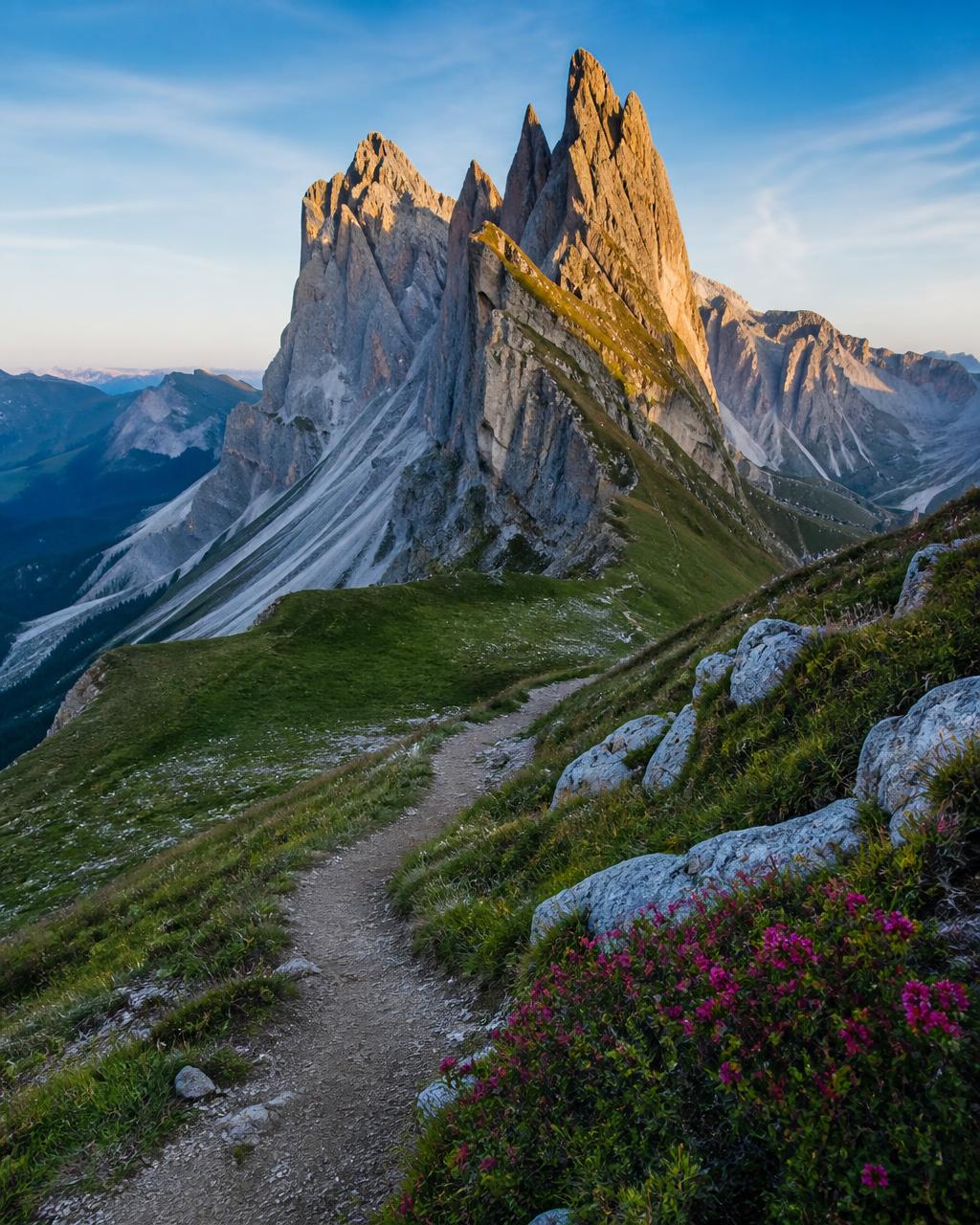
They are not a single mountain but a UNESCO World Heritage group of eighteen limestone massifs, recognised in 2009 for the pale rock towers that turn pink and orange at sunrise and sunset, a light locals call enrosadira. The rock itself, dolomite, is what gives the range its name and its vertical, sculpted shape, so different from the rounded summits of the western Alps.
The highest point is the Marmolada at 3,343 metres, the only massif in the range with a glacier. Around it sit the names most travellers recognise: the Sella group, the Sassolungo, the Tre Cime di Lavaredo, the Catinaccio and the Cinque Torri.
The main valleys
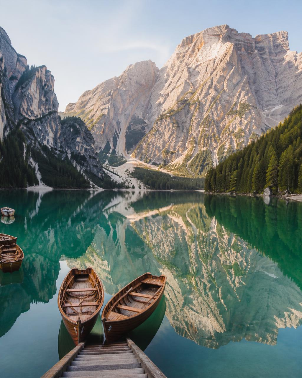
The Dolomites are best understood as a set of valleys rather than a single destination. Val Gardena and Val Badia, in South Tyrol, are German and Ladin speaking, with villages like Ortisei, Selva and Corvara built around timber farmhouses and modern lift systems. Val di Fassa, just south across the Sella pass, is Italian and Ladin, with Canazei as its main base.
East of the Sella lies the Ampezzo basin and Cortina d'Ampezzo, the most famous and most elegant resort in the range, close to the Tre Cime di Lavaredo. West, Val di Funes and the Alpe di Siusi, Europe's largest high alpine meadow, offer the postcard views of Santa Maddalena and the Sassolungo.
Because a network of passes links the valleys, a hotel in one still gives access to the others. Pordoi, Sella, Gardena and Campolongo passes form a ring around the Sella massif that can be driven in a morning. That is why our programmes stay in one or two hotels for the week rather than moving every night: less packing, more mountain.
Stay in one valley and let the passes do the work: you see more of the Dolomites in a week than you would moving hotel every night.
Caldana product team
What is a rifugio
A rifugio is a mountain hut, usually family run, sitting at altitude on a trail or beside a ski piste. Most serve full meals, from barley soup and canederli dumplings to strudel, and many offer beds in private rooms or shared dormitories for walkers on multi-day routes.
There are hundreds across the Dolomites, and they are part of the experience rather than emergency shelter. Lunch on a sunny terrace at 2,200 metres, with the Marmolada opposite, is what most people remember from a walking day.
If you plan to sleep in one, book ahead for July and August: the popular huts on the Alta Via routes fill months in advance. On our escorted tours you sleep in valley hotels and stop at rifugi for lunch, so no separate booking is needed and there is no need to carry a sleeping bag or heavy pack.
What is a via ferrata
A via ferrata, literally an iron road, is a protected climbing route: a steel cable bolted along a rock face, with ladders, pegs and sometimes suspended bridges. You clip onto the cable with a harness and a shock-absorbing lanyard, which means exposed terrain can be crossed without rope work or climbing technique.
Many of the routes date from the First World War, when the front ran through these mountains and soldiers cut paths and tunnels into the rock. The Lagazuoi tunnels above the Falzarego pass and the routes around the Cinque Torri are open-air museums as much as walking routes.
Vie ferrate are graded from easy to extremely difficult. Beginners should go with a mountain guide, who supplies the kit and reads the weather; nobody should start one with a thunderstorm forecast, as the cable is the highest metal object on the face. If you prefer to keep both feet on the ground, ordinary marked trails reach almost every viewpoint that matters.
How to get there
The usual gateways are Venice and Verona, both with international airports. Venice to Cortina or Val di Fassa is around two and a half hours by road, Verona around three. Innsbruck, over the Brenner pass in Austria, is closer to South Tyrol, and Milan is about four hours away.
Trains reach the edge of the range at Bolzano, Bressanone and Calalzo, and buses continue up the valleys, but services thin out between seasons. Independent travellers usually want a car; on our tours the coach handles the transfers and the mountain roads, which are slow even when the distances look short on a map.
Two seasons dominate. Late June to late September is walking season, when the passes are clear, lifts run and the huts are open. December to early April is ski season, when the same valleys form the Dolomiti Superski area and the Sella Ronda circuit links four valleys on a single pass. May and November are quiet months when many hotels and lifts close.
Practical notes
Weather changes quickly at altitude, and afternoon thunderstorms are common in summer. Layers, a waterproof shell and proper footwear matter more than technical gear, and the sun at 2,500 metres is stronger than it feels.
Cable cars are not cheating: they save an hour of walking on tarmac and put you at the start of the good trails. Lift passes covering a valley or the whole area are worth it for anything more than a couple of days.
German, Italian and Ladin are all spoken, and place names often come in two or three versions: Ortisei is also St. Ulrich, Val Gardena also Gröden. Both appear on road signs, which is worth knowing before you follow a map.